| Categories: |
|---|
Estimated reading time: 2 minutes
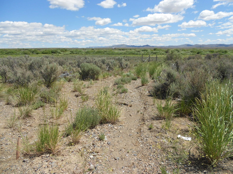
Natural ecosystems are complex and highly variable at multiple size scales. Because of the difficulties of accurately summarizing complexity and variability in an index number, regulators often require a reference area for comparison with a proposed or reclaimed project area. Agreement on a suitable reference area may be a requirement prior to permitting or bond-release decisions for mining and logging operations.
It is common for selection of an acceptable reference area to take a long time. There is no consensus on criteria defining reference areas because of the variability among drainage basins, streams and rivers, riparian zones, and forests and woodlots so decisions tend to be subjective rather than scientific.
The more technically sound and legally defensible way of assessing actual or potential change is quantification of key dynamics of the project ecosystem. Spatial and statistical analyses of appropriate observations measure natural variability and separate that from anthropogenic changes. This approach can be applied to baseline studies prior to preparation of an environmental impact assessment or issuance of an environmental permit, and to support release of reclamation bonds.
Many concerns are based on hydrology. This makes drainage basin terrain analysis using digital elevation models (DEMs) the place to start. Terrain analysis defines stream networks (time of concentration, water chemistry, aquatic biota distributions), hillside slopes (time for water to flow to the nearest downhill stream channel, potential vegetation, soil stability), stream and groundwater flows, erosion and sediment transport, and identification of flooding and flood-prone areas. This baseline drainage basin characterization is the standard used to monitor changes over time.
Statistical models of plant and animal distributions quantitatively assess habitat quantity and quality. These results can be associated with basin characteristics and hydrology and used in modeling changes under different management scenarios. Aquatic biota that might be expected to be in a stream (or reach) with certain geomorphic and chemical characteristics can be estimated by examining an available ecological monitoring biotic database. Explanations why fish are found in some streams or reaches and not in others can be inferred by describing the geomorphic, hydrologic, and hydraulic differences in populated and unpopulated areas.
This work was originally published on the Applied Ecosystem Services, LLC web site at https://www.appl-ecosys.com/blog/reference-areas/
It is offered under the terms of the Creative Commons Attribution-NonCommercial-NoDerivatives 4.0 International license. In short, you may copy and redistribute the material in any medium or format as long as you credit Dr. Richard Shepard as the author. You may not use the material for commercial purposes, and you may not distribute modified versions.